
 |
| Hank and Sauk Mountain along the Mountain Loop |
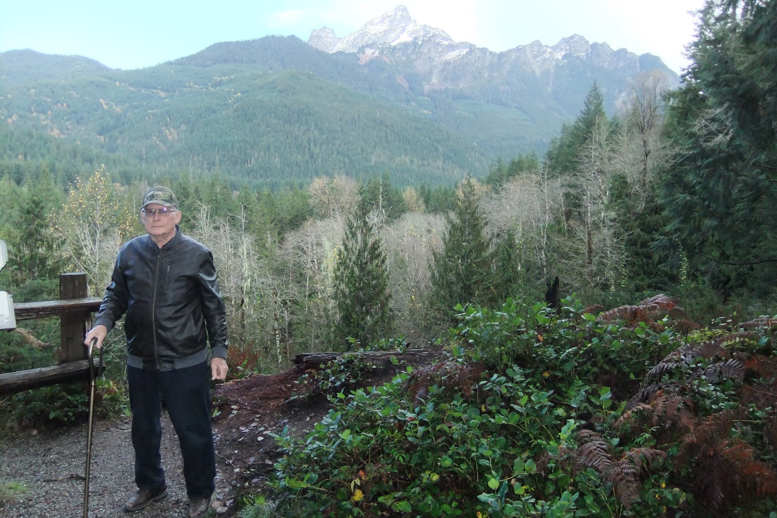
A rain-soaked, steaming world awaited us, but White Horse and Three Fingers Mountains stood brilliant in new snow against blue skies. Beyond the nearer mountains, we even glimpsed massive Glacier Peak, its volcanic slopes glistening like a mound of ice cream .
After a stand-up picnic at Squire Creek Campground, one of our favorite picnic spots, we turned south at Darrington. Almost immediately we left civilization behind and soon reached the start of an unpaved dirt road that would connect us with the western leg of the loop at Barlow Pass.
 |
| Rain forest moss shrouds the trees |
 |
| Sword fern decorated for fall |
We drove through rainforest that burgeons with life and decay at the same time. The greenest of moss wraps standing trees like untidy mummies. On the forest floor, it blankets rotting logs among gardens of sword fern. Between the last leaves clinging to maples and alders, vistas of mountains and the wild Sauk River, hidden from sight in the summer, now revealed themselves.
Dozens of large and small creeks tumbled down the steep slopes, sometimes only yards apart. We drove through spots where recent rock slides had spilled down the mountain and across the road.
Sections of the route badly needed grading . . . for long stretches the road was pitted with large, water-filled potholes. We couldn’t guess how deep they were, so we had to pick our way through a slow obstacle course to find the least jarring route. We also dodged broken trees and downed branches.
 |
| Old Man's Beard glitters with raindrops and steam rises in the sun |
In the hour or more it took us to travel the approximately fourteen miles of unpaved road, we saw only four other vehicles. We were especially glad to meet no oncoming traffic at two places where the flooding Sauk had, in years past, washed the road completely away, causing a closure of five years. Crews cut new roadbed, the width of a vehicle, into the rock cliff and the Mountain Loop Highway reopened in 2008. Those rebuilt stretches were now pocked with potholes upon potholes. The river boiled menacingly below us, but we made it safely across.

 |
| Sauk River scenes |
Twilight had fallen when we reached Barlow Pass, where the railroad once ran from the Stillaguamish Valley up the last few miles to the 1890s' mining town of Monte Cristo.
 |
| Fog rising below Big Four Mountain |
Should you go? Yes, if you have a sturdy, dependable vehicle that won’t easily bottom out on rocks or potholes. Yes, if you’re willing to take your time and drive carefully. You can check weather and road conditions at the Verlot Public Service Center or the Darrington Ranger Station. Pack some food and warm clothing. Let someone know where you’re going and when you expect to be back.
Then enjoy a one-of-a-kind autumn adventure.